
Overview
Osprey Provides:
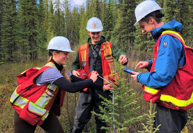
Advanced environmental mapping services utilizing the latest technologies, including high-resolution satellite imagery, drones, LiDAR, and Geographic Information Systems (GIS). These services encompass detailed spatial analysis, habitat mapping, land use planning, and environmental assessments. Our mapping capabilities allow for precise delineation of ecological zones, identification of sensitive habitats, and analysis of land and water resources.